Printable Version of Topic
Click here to view this topic in its original format
Fishing oz style _ Fresh Water Chat _ Freshwater
Posted by: NetPez Feb 29 2012, 04:06 PM
you might like these pics jumpy
When the tide came up at Nerriga

|
Posted by: NetPez Feb 29 2012, 04:08 PM
a couple more
this is at andys waterhole

|
Posted by: storms72 Feb 29 2012, 11:07 PM
Took my young fella for a wander down the Nepean today Pez, water is up around 5m below the wier-only 3m up above the wier-mind you the wier is underwater...A couple of local roads were closed due to the water being half way up my wheels-the RTA guys said they were about to stop all vehicles due to a expected 1m rise on the way. The water level was just under the bridges at Menangle and camden-usually a few meters lower.
Bloody bugger I was planning to get out for a flick this weekend.
The last photo is where the wier usually would be, the trees in the foreground are usually 2-3m above the water.

|

|

|
Posted by: Jumpus GooDarus Feb 29 2012, 11:10 PM
That's not the goat track leading up to the funny farm is it ????????
Back creek would be up high
Posted by: Rumpus Mar 4 2012, 02:44 AM
towns on both sides of me have no been evacuated, water is rising and filling the driveway but hoping it keeps running the other way!! 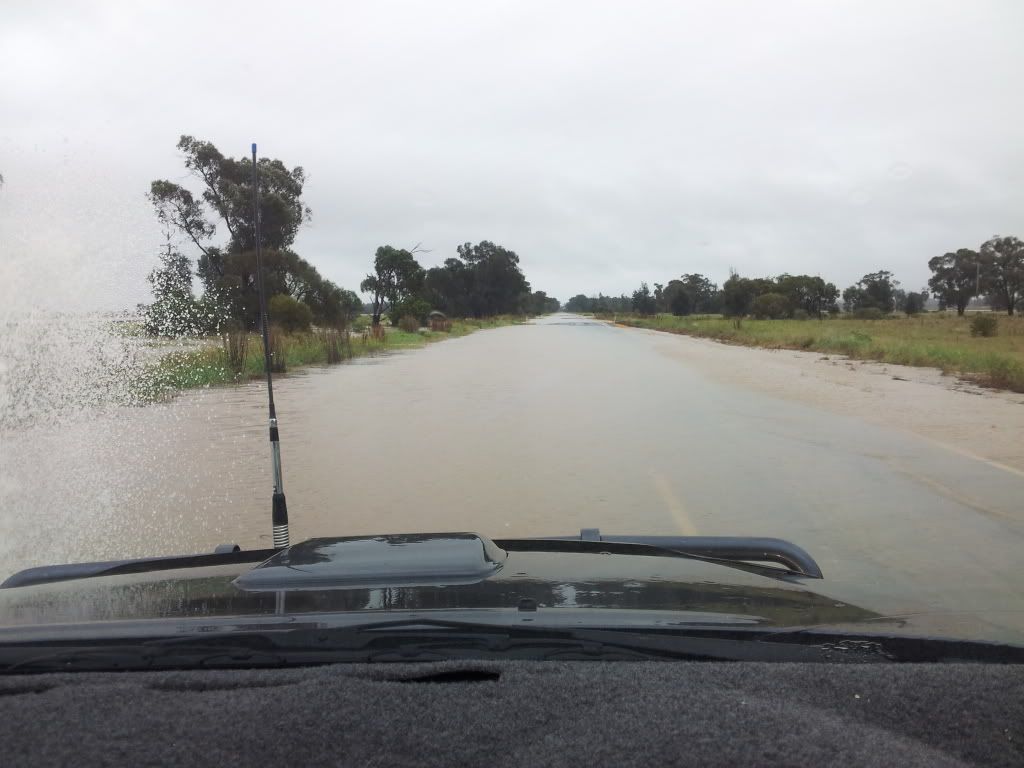

Posted by: Rumpus Mar 4 2012, 04:29 PM
These are a few pics of what used to be paddocks and the town of ungarie 30 mins from me, my closest town.

|

|

|
Posted by: Jumpus GooDarus Mar 4 2012, 04:52 PM
Looks like we have some washed potato's with this rain 
Posted by: quintrex101 Mar 4 2012, 09:21 PM
Wow that's alot of water
Powered by Invision Power Board (http://www.invisionboard.com)
© Invision Power Services (http://www.invisionpower.com)